Welcome Back

Forgot password?
Don't have an account?
🏘️ Menu
Solan District 0.0 / 5 (0)

Chapla Village Detailed Information

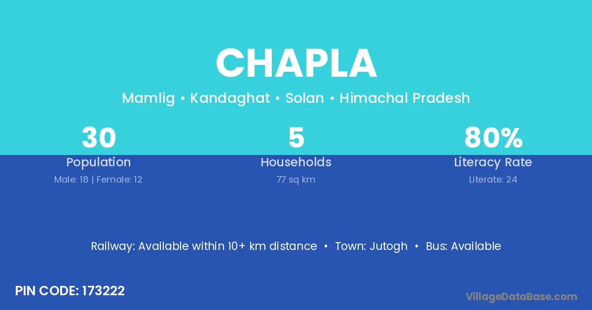
Chapla village is located in the Kandaghat Tehsil of the Solan district in Himachal Pradesh .

Chapla

About Chapla Village

Block / Tehsil → Kandaghat

District → Solan

State → Himachal Pradesh

According to Census 2011 information, the village code of Chapla village is 173222.

Chapla village has a total population of 30 people, of which 18 are males and 12 are females.

The literacy rate of Chapla village is 80.00%. Male literacy stands at 88.89% and female literacy at 66.67%.

There are approximately 5 households in Chapla village.

Jutogh is the nearest town to Chapla village for major economic activities

Population of Chapla Village

The population of Chapla village is distributed between literate and illiterate residents as follows:

Population distribution of Chapla village by literacy and gender
Particulars Male Female Total
Literate 16 8 24
Illiterate 2 4 6
Total 18 12 30

Source: Census 2011

Nearby Villages

List of nearby villages around Chapla village
Village District
Kaisu Lohit
Chhachhi Kachchh
Than Kachchh
Chanor Kheda
Bhola Rajkot
Than Hamirpur
Bhola Hamirpur
Than Hamirpur
Than Kangra
Mahog Mandi
Than Shimla
Mahog Shimla
Bhola Solan
Chanor Solan
Chhachhi Solan
Duh Solan
Jakhrion Solan
Kaisu Solan
Kamliar Solan
Mahog Solan
Mamlig Solan
Matimu Solan
Than Solan
Than Solan
Duh Solan
Chhachhi Solan
Chanor Jammu
Than Barwani
Than Barwani
Bhola Khordha
Bhola Mayurbhanj
Bhola Gurdaspur
Bhola Hoshiarpur
Than Jaunpur
Than Garhwal
Than Garhwal
Than Garhwal
Than Tehri Garhwal
Than Tehri Garhwal
Than Uttarkashi
Bhola Bankura
Bhola Bankura
Bhola Birbhum
Bhola Hugli
Bhola Murshidabad
Bhola Paschim Medinipur
Bhola Murshidabad
Bhola Paschim Medinipur

Frequently Asked Questions

Chapla village is located in the Kandaghat Tehsil of the Solan district in Himachal Pradesh.
The total population is 30 people.
18 males and 12 females.
The literacy rate is 80.00%.
Male literacy rate is 88.89%, and female literacy rate is 66.67%.
There are approximately 5 houses in Chapla village.
Jutogh is the nearest town, located approximately km away.

Reviews and Ratings

0.0 / 5 (0 reviews)

Reviews

No reviews yet. Be the first to review this village!

Chapla Village Statistics

Population
30
Area
77 km²
Households
5
Nearest Town :
Jutogh

Quick Information

State / UT : Himachal Pradesh
Pincode : 173222
Total Area : 77 km²
Population : 30
Households : 5
Gram Panchayat : Mamlig
Nearest Town : Jutogh

Connectivity of Chapla

🚂 Railway Station

Available within 10+ km distance

🚌 Public Bus Service

Available within village

🚌 Private Bus Service

Available within <5 km distance

Need Help?