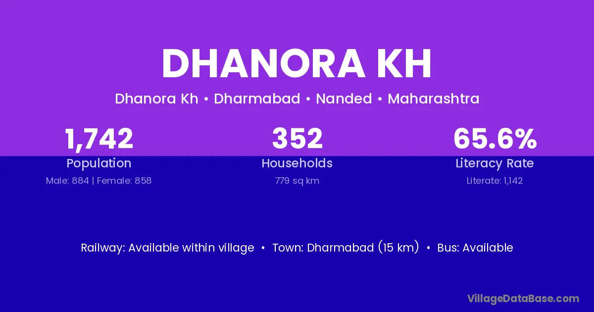
Dhanora Kh village is located in the Dharmabad Tehsil of the Nanded district in Maharashtra .
Block / Tehsil → Dharmabad
District → Nanded
State → Maharashtra
Dhanora Kh village has a total population of 1,742 people, of which 884 are males and 858 are females.
The literacy rate of Dhanora Kh village is 65.56%. Male literacy stands at 74.66% and female literacy at 56.18%.
There are approximately 352 households in Dhanora Kh village.
Dharmabad (15 km) is the nearest town to Dhanora Kh village for major economic activities and is located approximately 15 km away.
The population of Dhanora Kh village is distributed between literate and illiterate residents as follows:
| Particulars | Male | Female | Total |
|---|---|---|---|
| Literate | 660 | 482 | 1,142 |
| Illiterate | 224 | 376 | 600 |
| Total | 884 | 858 | 1,742 |
Source: Census 2011
No reviews yet. Be the first to review this village!
Available within village
Available within village
Available within 10+ km distance