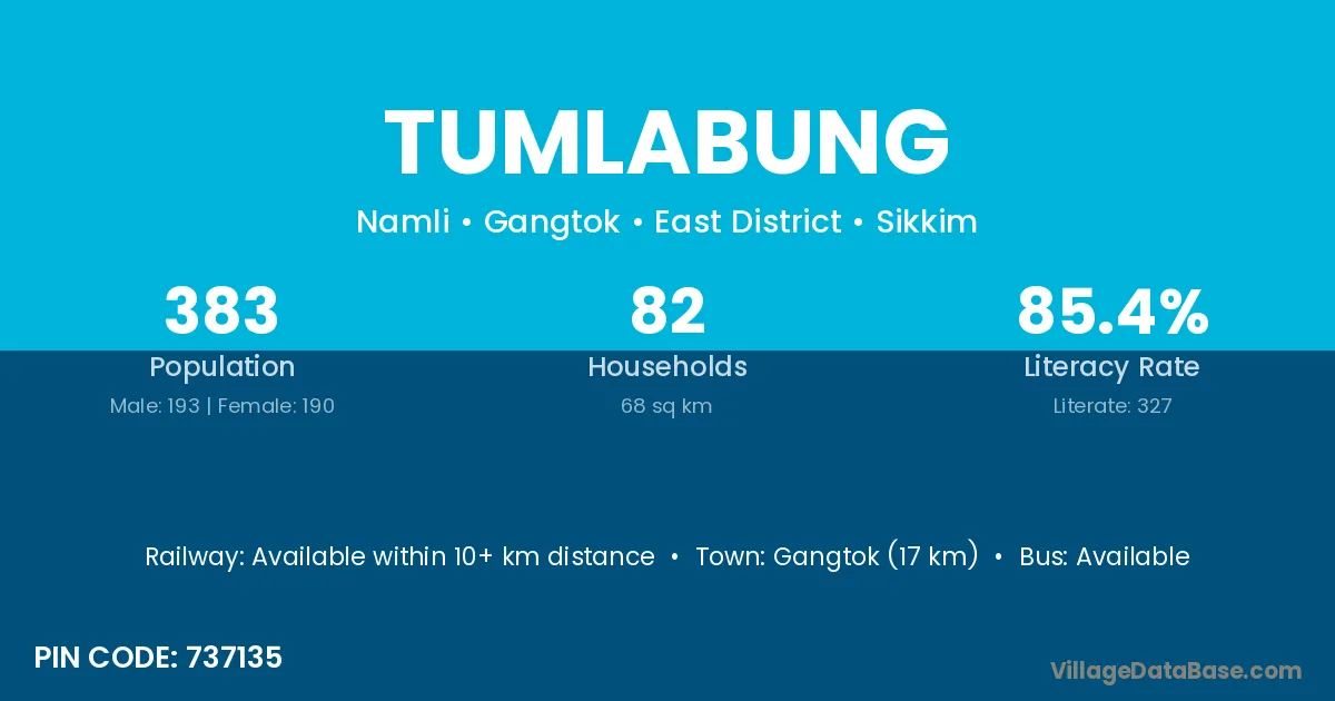
Tumlabung village is located in the Gangtok Subdivision of the East District district in Sikkim .
Block / Subdivision → Gangtok
District → East District
State → Sikkim
According to Census 2011 information, the village code of Tumlabung village is 737135.
Tumlabung village has a total population of 383 people, of which 193 are males and 190 are females.
The literacy rate of Tumlabung village is 85.38%. Male literacy stands at 89.12% and female literacy at 81.58%.
There are approximately 82 households in Tumlabung village.
Gangtok (17 km) is the nearest town to Tumlabung village for major economic activities and is located approximately 17 km away.
The population of Tumlabung village is distributed between literate and illiterate residents as follows:
| Particulars | Male | Female | Total |
|---|---|---|---|
| Literate | 172 | 155 | 327 |
| Illiterate | 21 | 35 | 56 |
| Total | 193 | 190 | 383 |
Source: Census 2011
| Village | District |
|---|---|
| Central Pendam | East District |
| Chinze | East District |
| Chuba | East District |
| Chuba | South District |
| Namin | East District |
| Namli | Udaipur |
| Namli | East District |
| Namli | Nizamabad |
| Ranka | Banka |
| Ranka | Sheikhpura |
| Ranka | Durg |
| Ranka | Rajnandgaon |
| Ranka | Kangra |
| Ranka | Doda |
| Ranka | Garhwa |
| Ranka | Saraikela Kharsawan |
| Ranka | East District |
| Ranka | Allahabad |
| Rawate Rumtek | East District |
| Sajong | East District |
| Samlik Marchak | East District |
| Shyagyong Rumtek | East District |
| West Pendam | East District |
No reviews yet. Be the first to review this village!
Available within 10+ km distance
Available within <5 km distance
Available within <5 km distance