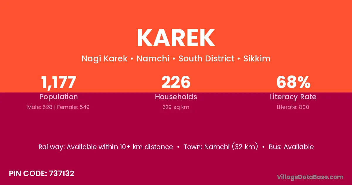
Karek village is located in the Namchi Subdivision of the South District district in Sikkim .
Block / Subdivision → Namchi
District → South District
State → Sikkim
According to Census 2011 information, the village code of Karek village is 737132.
Karek village has a total population of 1,177 people, of which 628 are males and 549 are females.
The literacy rate of Karek village is 67.97%. Male literacy stands at 75.32% and female literacy at 59.56%.
There are approximately 226 households in Karek village.
Namchi (32 km) is the nearest town to Karek village for major economic activities and is located approximately 32 km away.
The population of Karek village is distributed between literate and illiterate residents as follows:
| Particulars | Male | Female | Total |
|---|---|---|---|
| Literate | 473 | 327 | 800 |
| Illiterate | 155 | 222 | 377 |
| Total | 628 | 549 | 1,177 |
Source: Census 2011
| Village | District |
|---|---|
| Burul | South District |
| Burul | South Twenty Four Parganas |
| Burul | South Twenty Four Parganas |
| Chuba | East District |
| Chuba | South District |
| Kabrey | South District |
| Maneydara | South District |
| Nagi | Rohtas |
| Nagi | Hazaribagh |
| Nagi | Washim |
| Nagi | Kalahandi |
| Nagi | South District |
| Nalam Kolbong | South District |
| Nijarmeng | South District |
| Paleytam | South District |
| Parbing | East District |
| Parbing | South District |
| Phong | East Khasi Hills |
| Phong | South District |
| Rameng | South District |
No reviews yet. Be the first to review this village!
Available within 10+ km distance
Available within 5 - 10 km distance
Available within 10+ km distance