Welcome Back

Forgot password?
Don't have an account?
🏘️ Menu
Agra District 0.0 / 5 (0)

Imlabada Village Detailed Information

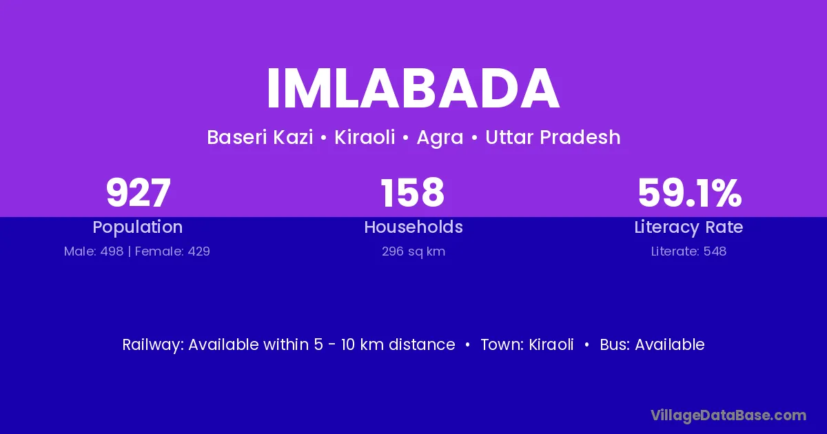
Imlabada village is located in the Kiraoli Tehsil of the Agra district in Uttar Pradesh .

About Imlabada Village

Block / Tehsil → Kiraoli

District → Agra

State → Uttar Pradesh

Imlabada village has a total population of 927 people, of which 498 are males and 429 are females.

The literacy rate of Imlabada village is 59.12%. Male literacy stands at 69.08% and female literacy at 47.55%.

There are approximately 158 households in Imlabada village.

Kiraoli is the nearest town to Imlabada village for major economic activities

Population of Imlabada Village

The population of Imlabada village is distributed between literate and illiterate residents as follows:

Population distribution of Imlabada village by literacy and gender
Particulars Male Female Total
Literate 344 204 548
Illiterate 154 225 379
Total 498 429 927

Source: Census 2011

Nearby Villages

List of nearby villages around Imlabada village
Village District
Badanpur Barnabai Agra
Basari Sikandar Agra
Baseri Kazi Agra
Deonari Agra
Dulhara Anuppur
Dulhara Betul
Dulhara Betul
Dulhara Rewa
Dulhara Shahdol
Dulhara Shivpuri
Dulhara Umaria
Dulhara Dhaulpur
Dulhara Agra
Gothara Jaipur
Gothara Agra
Hanspura Aurangabad
Hanspura Bhind
Hanspura Chhatarpur
Hanspura Mandsaur
Hanspura Neemuch
Hanspura Bhilwara
Hanspura Agra
Hanspura Jhansi
Khanpur Nithari Agra
Mandoli North East Delhi
Mandoli Bhiwani
Mandoli Mandi
Mandoli Shimla
Mandoli Sirmaur
Mandoli Belgaum
Mandoli Akola
Mandoli Akola
Mandoli Baran
Mandoli Jalor
Mandoli Sikar
Mandoli Sikar
Mandoli Sikar
Mandoli Agra
Mandoli Garhwal
Mandoli Garhwal
Mandoli Garhwal
Mandoli Garhwal
Panchakki Agra
Sika Rauda Agra

Frequently Asked Questions

Imlabada village is located in the Kiraoli Tehsil of the Agra district in Uttar Pradesh.
The total population is 927 people.
498 males and 429 females.
The literacy rate is 59.12%.
Male literacy rate is 69.08%, and female literacy rate is 47.55%.
There are approximately 158 houses in Imlabada village.
Kiraoli is the nearest town, located approximately km away.

Reviews and Ratings

0.0 / 5 (0 reviews)

Reviews

No reviews yet. Be the first to review this village!

Imlabada Village Statistics

Population
927
Area
296 km²
Households
158
Nearest Town :
Kiraoli

Quick Information

State / UT : Uttar Pradesh
Total Area : 296 km²
Population : 927
Households : 158
Gram Panchayat : Baseri Kazi
Nearest Town : Kiraoli

Connectivity of Imlabada

🚂 Railway Station

Available within 5 - 10 km distance

🚌 Public Bus Service

Available within 5 - 10 km distance

🚌 Private Bus Service

Available within 5 - 10 km distance

Need Help?

Contact local tourism office for assistance