Welcome Back

Forgot password?
Don't have an account?
🏘️ Menu
Chitrakoot District 0.0 / 5 (0)

Kota Kadaila Village Detailed Information

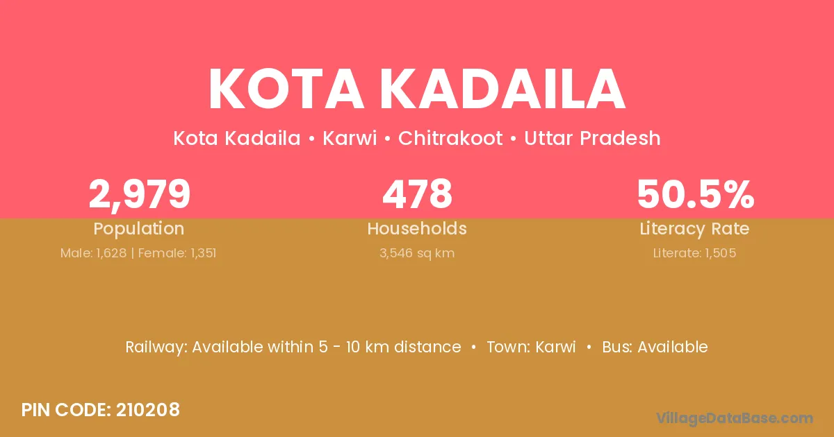
Kota Kadaila village is located in the Karwi Tehsil of the Chitrakoot district in Uttar Pradesh .

About Kota Kadaila Village

Block / Tehsil → Karwi

District → Chitrakoot

State → Uttar Pradesh

According to Census 2011 information, the village code of Kota Kadaila village is 210208.

Kota Kadaila village has a total population of 2,979 people, of which 1,628 are males and 1,351 are females.

The literacy rate of Kota Kadaila village is 50.52%. Male literacy stands at 58.35% and female literacy at 41.08%.

There are approximately 478 households in Kota Kadaila village.

Karwi is the nearest town to Kota Kadaila village for major economic activities

Population of Kota Kadaila Village

The population of Kota Kadaila village is distributed between literate and illiterate residents as follows:

Population distribution of Kota Kadaila village by literacy and gender
Particulars Male Female Total
Literate 950 555 1,505
Illiterate 678 796 1,474
Total 1,628 1,351 2,979

Source: Census 2011

Nearby Villages

List of nearby villages around Kota Kadaila village
Village District
Kuwari Sonitpur
Kuwari Saran
Kuwari Koriya
Pada Bharuch
Pada Dohad
Pada Narmada
Pada Surat
Rampuriya Guna
Rampuriya Indore
Rampuriya Jhabua
Rampuriya Neemuch
Rampuriya Neemuch
Rampuriya Neemuch
Rampuriya Rajgarh
Rampuriya Ratlam
Rampuriya Ratlam
Rampuriya Ratlam
Pada Bargarh
Pada Dhenkanal
Pada Alwar
Pada Banswara
Rampuriya Baran
Rampuriya Baran
Rampuriya Baran
Rampuriya Bhilwara
Rampuriya Bhilwara
Rampuriya Bhilwara
Rampuriya Bhilwara
Rampuriya Bhilwara
Rampuriya Bhilwara
Rampuriya Bundi
Rampuriya Bundi
Rampuriya Bundi
Rampuriya Bundi
Rampuriya Bundi
Rampuriya Chittaurgarh
Pada Dungarpur
Rampuriya Jhalawar
Rampuriya Jhalawar
Rampuriya Jhalawar
Rampuriya Jodhpur
Rampuriya Kota
Rampuriya Kota
Rampuriya Pratapgarh
Rampuriya Rajsamand
Rampuriya Rajsamand
Chandara Mara Chitrakoot
Dabhawar Chitrakoot
Gadhchapa Chitrakoot
Hanuwa Chitrakoot
Jiganbah Chitrakoot
Kuwari Chitrakoot
Pada Chitrakoot
Rampuriya Chitrakoot
Sakrouha Chitrakoot
Sarainya Chitrakoot
Unchadeeh Chitrakoot
Kuwari Ghazipur
Kuwari Bageshwar

Frequently Asked Questions

Kota Kadaila village is located in the Karwi Tehsil of the Chitrakoot district in Uttar Pradesh.
The total population is 2,979 people.
1,628 males and 1,351 females.
The literacy rate is 50.52%.
Male literacy rate is 58.35%, and female literacy rate is 41.08%.
There are approximately 478 houses in Kota Kadaila village.
Karwi is the nearest town, located approximately km away.

Reviews and Ratings

0.0 / 5 (0 reviews)

Reviews

No reviews yet. Be the first to review this village!

Kota Kadaila Village Statistics

Population
2979
Area
3546 km²
Households
478
Nearest Town :
Karwi

Quick Information

State / UT : Uttar Pradesh
Pincode : 210208
Total Area : 3546 km²
Population : 2979
Households : 478
Gram Panchayat : Kota Kadaila
Nearest Town : Karwi

Connectivity of Kota Kadaila

🚂 Railway Station

Available within 5 - 10 km distance

🚌 Public Bus Service

Available within 10+ km distance

🚌 Private Bus Service

Available within 10+ km distance

Need Help?

Contact local tourism office for assistance