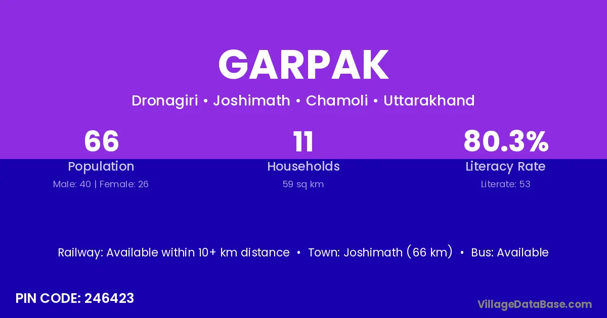
Garpak village is located in the Joshimath Tehsil of the Chamoli district in Uttarakhand .
Block / Tehsil → Joshimath
District → Chamoli
State → Uttarakhand
According to Census 2011 information, the village code of Garpak village is 246423.
Garpak village has a total population of 66 people, of which 40 are males and 26 are females.
The literacy rate of Garpak village is 80.30%. Male literacy stands at 85.00% and female literacy at 73.08%.
There are approximately 11 households in Garpak village.
Joshimath (66 km) is the nearest town to Garpak village for major economic activities and is located approximately 66 km away.
The population of Garpak village is distributed between literate and illiterate residents as follows:
| Particulars | Male | Female | Total |
|---|---|---|---|
| Literate | 34 | 19 | 53 |
| Illiterate | 6 | 7 | 13 |
| Total | 40 | 26 | 66 |
Source: Census 2011
| Village | District |
|---|---|
| Chamoli | Kangra |
| Chamoli | Mandi |
| Chamoli | Bageshwar |
| Chamoli | Chamoli |
| Chamoli | Champawat |
| Chamoli | Garhwal |
| Chamoli | Nainital |
| Chamoli | Pithoragarh |
| Dronagiri | Chamoli |
| F 1 | Chamoli |
| F 1 | Chamoli |
| F 1 | Chamoli |
| F 1 | Chamoli |
| F 1 | Garhwal |
| F 1 | Garhwal |
| F 1 | Rudraprayag |
| F 1 | Uttarkashi |
| Jalam | Chamoli |
| Joshimath | Chamoli |
| Jumma | Chamoli |
| Jumma | Pithoragarh |
| Kaga Laga Dronagiri | Chamoli |
| Kosa | Durg |
| Kosa | Durg |
| Kosa | Janjgir Champa |
| Kosa | Kachchh |
| Kosa | Chamoli |
| Lamtoli | Chamoli |
| Pangar Basa | Chamoli |
No reviews yet. Be the first to review this village!
Available within 10+ km distance
Available within 10+ km distance
Available within 10+ km distance