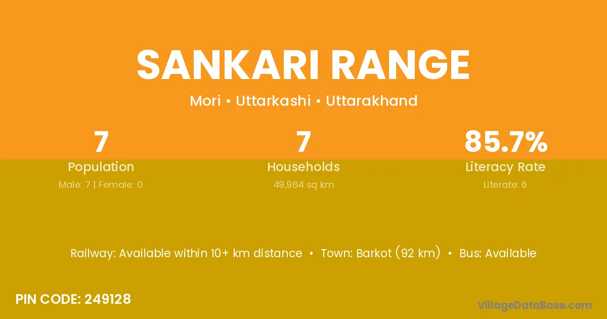
Sankari Range village is located in the Mori Tehsil of the Uttarkashi district in Uttarakhand .
Block / Tehsil → Mori
District → Uttarkashi
State → Uttarakhand
According to Census 2011 information, the village code of Sankari Range village is 249128.
Sankari Range village has a total population of 7 people, of which 7 are males and 0 are females.
The literacy rate of Sankari Range village is 85.71%. Male literacy stands at 85.71% and female literacy at 0%.
There are approximately 7 households in Sankari Range village.
Barkot (92 km) is the nearest town to Sankari Range village for major economic activities and is located approximately 92 km away.
The population of Sankari Range village is distributed between literate and illiterate residents as follows:
| Particulars | Male | Female | Total |
|---|---|---|---|
| Literate | 6 | 0 | 6 |
| Illiterate | 1 | 0 | 1 |
| Total | 7 | 0 | 7 |
Source: Census 2011
| Village | District |
|---|---|
| Devta Range | Uttarkashi |
| Dhonsali | Uttarkashi |
| Ghund | Shimla |
| Ghund | Uttarkashi |
| Haltari | Uttarkashi |
| Jakhali | Shimla |
| Jakhali | Betul |
| Jakhali | Siddharthnagar |
| Jakhali | Uttarkashi |
| Kotala | Chittoor |
| Kotala | Chittoor |
| Kotala | Shivpuri |
| Kotala | Ludhiana |
| Kotala | Uttarkashi |
| Kotigad Range | Uttarkashi |
| Rupin Range | Uttarkashi |
| Sandra Range | Uttarkashi |
| Singtur Range | Uttarkashi |
| Supin Range | Uttarkashi |
No reviews yet. Be the first to review this village!
Available within 10+ km distance
Available within village
Available within village