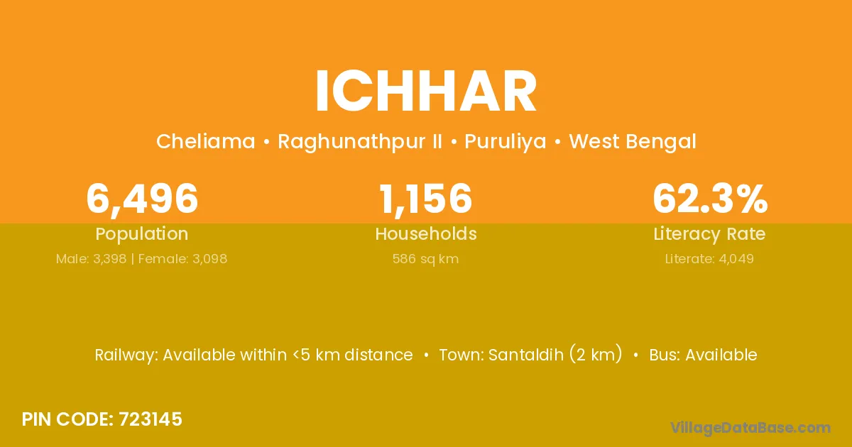
Ichhar village is located in the Raghunathpur II Subdivision of the Puruliya district in West Bengal .
Block / Subdivision → Raghunathpur II
District → Puruliya
State → West Bengal
According to Census 2011 information, the village code of Ichhar village is 723145.
Ichhar village has a total population of 6,496 people, of which 3,398 are males and 3,098 are females.
The literacy rate of Ichhar village is 62.33%. Male literacy stands at 74.90% and female literacy at 48.55%.
There are approximately 1,156 households in Ichhar village.
Santaldih (2 km) is the nearest town to Ichhar village for major economic activities and is located approximately 2 km away.
The population of Ichhar village is distributed between literate and illiterate residents as follows:
| Particulars | Male | Female | Total |
|---|---|---|---|
| Literate | 2,545 | 1,504 | 4,049 |
| Illiterate | 853 | 1,594 | 2,447 |
| Total | 3,398 | 3,098 | 6,496 |
Source: Census 2011
No reviews yet. Be the first to review this village!
Available within <5 km distance
Available within 5 - 10 km distance
Available within village