Welcome Back

Forgot password?
Don't have an account?
🏘️ Menu
Kheri District 0.0 / 5 (0)

Ray Khera Village Detailed Information

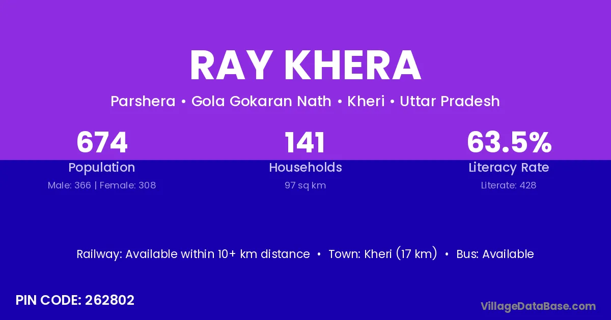
Ray Khera village is located in the Gola Gokaran Nath Tehsil of the Kheri district in Uttar Pradesh .

About Ray Khera Village

Block / Tehsil → Gola Gokaran Nath

District → Kheri

State → Uttar Pradesh

According to Census 2011 information, the village code of Ray Khera village is 262802.

Ray Khera village has a total population of 674 people, of which 366 are males and 308 are females.

The literacy rate of Ray Khera village is 63.50%. Male literacy stands at 73.77% and female literacy at 51.30%.

There are approximately 141 households in Ray Khera village.

Kheri (17 km) is the nearest town to Ray Khera village for major economic activities and is located approximately 17 km away.

Population of Ray Khera Village

The population of Ray Khera village is distributed between literate and illiterate residents as follows:

Population distribution of Ray Khera village by literacy and gender
Particulars Male Female Total
Literate 270 158 428
Illiterate 96 150 246
Total 366 308 674

Source: Census 2011

Nearby Villages

List of nearby villages around Ray Khera village
Village District
Deokali Aurangabad
Bagha Banka
Deokali Darbhanga
Deokali Darbhanga
Deokali Kaimur
Deokali Nalanda
Deokali Patna
Bagha Solan
Bagha Solan
Bagha Lohardaga
Bagha Damoh
Deokali Cuttack
Bagha Puri
Bagha Bathinda
Bagha Gurdaspur
Bagha Hoshiarpur
Ajan Bharatpur
Ajan Bharatpur
Bagha Bahraich
Deokali Ballia
Deokali Ballia
Bagha Banda
Deokali Bara Banki
Deokali Bara Banki
Deokali Basti
Deokali Chitrakoot
Deokali Deoria
Deokali Deoria
Bagha Deoria
Deokali Faizabad
Deokali Fatehpur
Deokali Ghazipur
Deokali Ghazipur
Deokali Ghazipur
Deokali Gorakhpur
Bagha Gorakhpur
Deokali Gorakhpur
Deokali Gorakhpur
Deokali Hardoi
Deokali Jaunpur
Deokali Jaunpur
Deokali Jaunpur
Deokali Jaunpur
Ajan Kheri
Bagha Kheri
Bashi Khurd Kheri
Chhichhauna Kheri
Deokali Kheri
Jharbenar Kheri
Kartar Pur Kheri
Kutkherwa Kheri
Munda Jawahar Kheri
Parshera Kheri
Shabuddin Pur Kheri
Bagha Mahrajganj
Deokali Mainpuri
Ajan Pilibhit
Deokali Sant Kabir Nagar
Deokali Shahjahanpur
Deokali Siddharthnagar
Deokali Sitapur
Deokali Sultanpur
Bagha Birbhum
Bagha Darjiling
Bagha Murshidabad
Bagha Murshidabad

Frequently Asked Questions

Ray Khera village is located in the Gola Gokaran Nath Tehsil of the Kheri district in Uttar Pradesh.
The total population is 674 people.
366 males and 308 females.
The literacy rate is 63.50%.
Male literacy rate is 73.77%, and female literacy rate is 51.30%.
There are approximately 141 houses in Ray Khera village.
Kheri (17 km) is the nearest town, located approximately 17 km away.

Reviews and Ratings

0.0 / 5 (0 reviews)

Reviews

No reviews yet. Be the first to review this village!

Ray Khera Village Statistics

Population
674
Area
97 km²
Households
141
Nearest Town :
Kheri (17 km)

Quick Information

State / UT : Uttar Pradesh
Pincode : 262802
Total Area : 97 km²
Population : 674
Households : 141
Gram Panchayat : Parshera
Nearest Town : Kheri (17 km)

Connectivity of Ray Khera

🚂 Railway Station

Available within 10+ km distance

🚌 Public Bus Service

Available within 10+ km distance

🚌 Private Bus Service

Available within 10+ km distance

Need Help?

Contact local tourism office for assistance