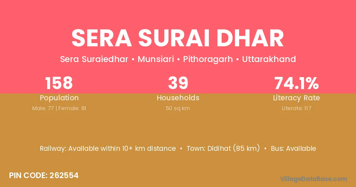
Sera Surai Dhar village is located in the Munsiari Tehsil of the Pithoragarh district in Uttarakhand .
Block / Tehsil → Munsiari
District → Pithoragarh
State → Uttarakhand
According to Census 2011 information, the village code of Sera Surai Dhar village is 262554.
Sera Surai Dhar village has a total population of 158 people, of which 77 are males and 81 are females.
The literacy rate of Sera Surai Dhar village is 74.05%. Male literacy stands at 77.92% and female literacy at 70.37%.
There are approximately 39 households in Sera Surai Dhar village.
Didihat (85 km) is the nearest town to Sera Surai Dhar village for major economic activities and is located approximately 85 km away.
The population of Sera Surai Dhar village is distributed between literate and illiterate residents as follows:
| Particulars | Male | Female | Total |
|---|---|---|---|
| Literate | 60 | 57 | 117 |
| Illiterate | 17 | 24 | 41 |
| Total | 77 | 81 | 158 |
Source: Census 2011
| Village | District |
|---|---|
| Akhoriya | Pithoragarh |
| Charkham | Pithoragarh |
| Cheti Chimla | Pithoragarh |
| Ghor Patta Talla | Pithoragarh |
| Kaiti | Pithoragarh |
| Kaiti | Barddhaman |
| Kirkhet | Pithoragarh |
| Sebila | Pithoragarh |
| Sela | Chamba |
| Sela | Chhatarpur |
| Sela | Barmer |
| Sela | Barmer |
| Sela | Pali |
| Sela | Bijnor |
| Sela | Pithoragarh |
| Sela | Pithoragarh |
| Sela Chital | Pithoragarh |
| Sella Malla | Pithoragarh |
| Teli | Tawang |
| Teli | Ramban |
| Teli | Viluppuram |
| Teli | Pithoragarh |
No reviews yet. Be the first to review this village!
Available within 10+ km distance
Available within village
Available within village