Welcome Back

Forgot password?
Don't have an account?
🏘️ Menu
Aurangabad District 0.0 / 5 (0)

Gautala Village Detailed Information

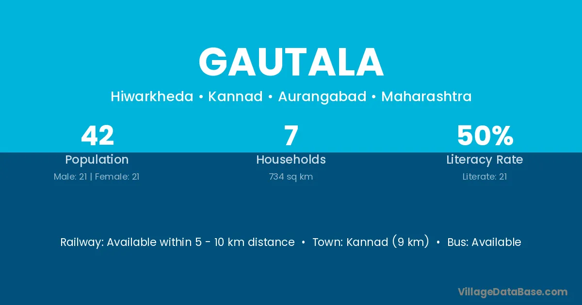
Gautala village is located in the Kannad Tehsil of the Aurangabad district in Maharashtra .

About Gautala Village

Block / Tehsil → Kannad

District → Aurangabad

State → Maharashtra

Gautala village has a total population of 42 people, of which 21 are males and 21 are females.

The literacy rate of Gautala village is 50.00%. Male literacy stands at 52.38% and female literacy at 47.62%.

There are approximately 7 households in Gautala village.

Kannad (9 km) is the nearest town to Gautala village for major economic activities and is located approximately 9 km away.

Population of Gautala Village

The population of Gautala village is distributed between literate and illiterate residents as follows:

Population distribution of Gautala village by literacy and gender
Particulars Male Female Total
Literate 11 10 21
Illiterate 10 11 21
Total 21 21 42

Source: Census 2011

Nearby Villages

List of nearby villages around Gautala village
Village District
Amba Papum Pare
Amba Aurangabad
Amba Aurangabad
Amba Banka
Amba Bhagalpur
Amba Jamui
Amba Lakhisarai
Amba Nalanda
Amba Nawada
Wasadi Rajnandgaon
Amba Amreli
Amba Dohad
Amba Panch Mahals
Amba Surat
Amba Tapi
Amba Deoghar
Amba Deoghar
Amba Dumka
Amba Dumka
Amba Dumka
Amba Dumka
Amba Godda
Amba Jamtara
Amba Palamu
Amba Alirajpur
Upla Barwani
Amba Burhanpur
Amba Dhar
Mehagaon Gwalior
Amba Harda
Amba Jhabua
Amba Khargone
Amba Khargone
Amba Mandsaur
Amba Neemuch
Amba Neemuch
Amba Raisen
Amba Rajgarh
Amba Ratlam
Amba Rewa
Nimbhora Akola
Nimbhora Amravati
Nimbhora Amravati
Amba Aurangabad
Bhambarwadi Aurangabad
Bramhani Garada Aurangabad
Deopul Aurangabad
Mehagaon Aurangabad
Nimbhora Aurangabad
Satkund Tanda Aurangabad
Tapowan Aurangabad
Upla Aurangabad
Wadner Tanda Aurangabad
Wasadi Aurangabad
Nimbhora Aurangabad
Tapowan Buldana
Tapowan Hingoli
Amba Hingoli
Tapowan Hingoli
Nimbhora Jalgaon
Amba Jalna
Amba Kolhapur
Upla Osmanabad
Bhambarwadi Parbhani
Tapowan Washim
Tapowan Washim
Nimbhora Yavatmal
Upla Baleshwar
Amba Banswara
Amba Banswara
Amba Chittaurgarh
Amba Chittaurgarh
Amba Sirohi
Amba Udaipur
Amba Udaipur
Amba Udaipur
Amba East District
Amba Allahabad
Amba Bahraich
Amba Bulandshahr
Amba Rae Bareli
Tapowan Tehri Garhwal
Amba Barddhaman
Amba Birbhum
Amba Paschim Medinipur

Frequently Asked Questions

Gautala village is located in the Kannad Tehsil of the Aurangabad district in Maharashtra.
The total population is 42 people.
21 males and 21 females.
The literacy rate is 50.00%.
Male literacy rate is 52.38%, and female literacy rate is 47.62%.
There are approximately 7 houses in Gautala village.
Kannad (9 km) is the nearest town, located approximately 9 km away.

Reviews and Ratings

0.0 / 5 (0 reviews)

Reviews

No reviews yet. Be the first to review this village!

Gautala Village Statistics

Population
42
Area
734 km²
Households
7
Nearest Town :
Kannad (9 km)

Quick Information

State / UT : Maharashtra
Total Area : 734 km²
Population : 42
Households : 7
Gram Panchayat : Hiwarkheda
Nearest Town : Kannad (9 km)

Connectivity of Gautala

🚂 Railway Station

Available within 5 - 10 km distance

🚌 Public Bus Service

Available within 5 - 10 km distance

🚌 Private Bus Service

Available within 5 - 10 km distance

Need Help?

Contact local tourism office for assistance