Welcome Back

Forgot password?
Don't have an account?
🏘️ Menu
Nagaur District 0.0 / 5 (0)

Raithaliya Village Detailed Information

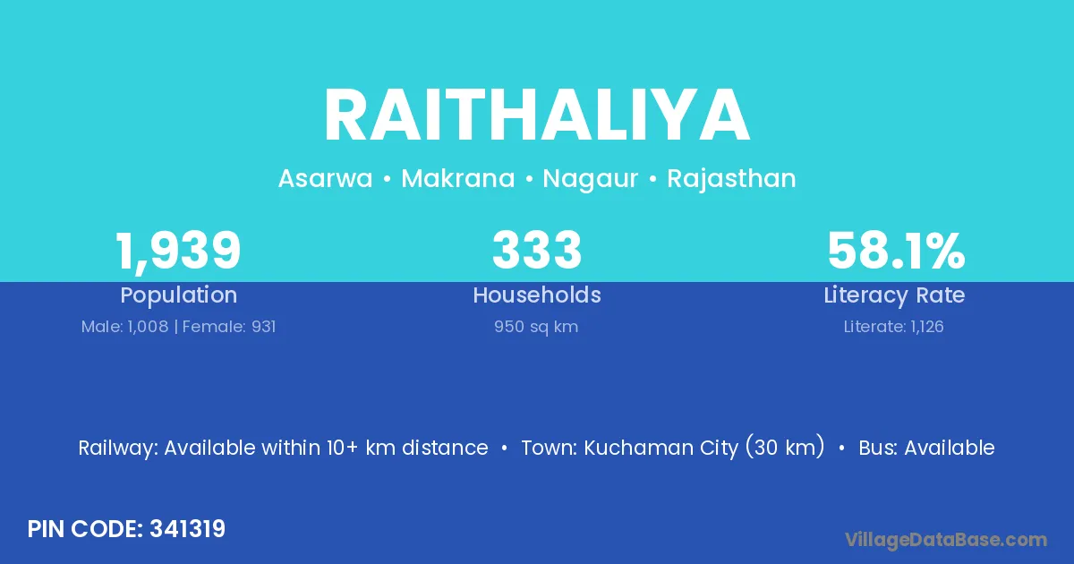
Raithaliya village is located in the Makrana Tehsil of the Nagaur district in Rajasthan .

About Raithaliya Village

Block / Tehsil → Makrana

District → Nagaur

State → Rajasthan

According to Census 2011 information, the village code of Raithaliya village is 341319.

Raithaliya village has a total population of 1,939 people, of which 1,008 are males and 931 are females.

The literacy rate of Raithaliya village is 58.07%. Male literacy stands at 70.34% and female literacy at 44.79%.

There are approximately 333 households in Raithaliya village.

Kuchaman City (30 km) is the nearest town to Raithaliya village for major economic activities and is located approximately 30 km away.

Population of Raithaliya Village

The population of Raithaliya village is distributed between literate and illiterate residents as follows:

Population distribution of Raithaliya village by literacy and gender
Particulars Male Female Total
Literate 709 417 1,126
Illiterate 299 514 813
Total 1,008 931 1,939

Source: Census 2011

Nearby Villages

List of nearby villages around Raithaliya village
Village District
Chandi Aurangabad
Chandi Bhojpur
Chandi Bhojpur
Chandi Buxar
Chandi Katihar
Chandi Nalanda
Chandi Purnia
Chandi Rohtas
Chandi Rohtas
Chandi Durg
Chandi Raipur
Chandi Surguja
Ladpur Panch Mahals
Ladpur Panch Mahals
Ladpur Jhajjar
Gothri Mahendragarh
Ladpur Palwal
Chandi Rohtak
Ladpur Sonipat
Chandi Chamba
Chandi Solan
Chandi Dewas
Chandi Rewa
Chandi Seoni
Chandi Bhandara
Chandi Khordha
Ladpur Fatehgarh Sahib
Ladpur Hoshiarpur
Ladpur Alwar
Mangalwa Alwar
Ladpur Alwar
Ladpur Alwar
Chindaliya Baran
Chindaliya Baran
Ladpur Bundi
Ladpur Chittaurgarh
Gothri Jhunjhunun
Ladpur Karauli
Chandi Nagaur
Chindaliya Nagaur
Dhananwana Nagaur
Gelasar Nagaur
Gothri Nagaur
Ladpur Nagaur
Mangalwa Nagaur
Nandoli Bas Nagaur
Nandoli Chandawatan Nagaur
Nawad Nagaur
Seeniya Nagaur
Ladpur Sikar
Ladpur Sikar
Chandi Medak
Chandi Agra
Chandi Allahabad
Chandi Allahabad
Chandi Allahabad
Ladpur Ballia
Ladpur Ballia
Chandi Ballia
Ladpur Bijnor
Chandi Kanshiram Nagar
Ladpur Mahoba
Ladpur Mathura
Ladpur Mathura
Ladpur Mau
Ladpur Moradabad
Ladpur Muzaffarnagar
Ladpur Pilibhit
Ladpur Pilibhit
Chandi Saharanpur
Chandi Sitapur
Chandi Rudraprayag
Chandi South Twenty Four Parganas

Frequently Asked Questions

Raithaliya village is located in the Makrana Tehsil of the Nagaur district in Rajasthan.
The total population is 1,939 people.
1,008 males and 931 females.
The literacy rate is 58.07%.
Male literacy rate is 70.34%, and female literacy rate is 44.79%.
There are approximately 333 houses in Raithaliya village.
Kuchaman City (30 km) is the nearest town, located approximately 30 km away.

Reviews and Ratings

0.0 / 5 (0 reviews)

Reviews

No reviews yet. Be the first to review this village!

Raithaliya Village Statistics

Population
1939
Area
950 km²
Households
333
Nearest Town :
Kuchaman City (30 km)

Quick Information

State / UT : Rajasthan
Pincode : 341319
Total Area : 950 km²
Population : 1939
Households : 333
Gram Panchayat : Asarwa
Nearest Town : Kuchaman City (30 km)

Connectivity of Raithaliya

🚂 Railway Station

Available within 10+ km distance

🚌 Public Bus Service

Available within 5 - 10 km distance

🚌 Private Bus Service

Available within <5 km distance

Need Help?

Contact local tourism office for assistance