Welcome Back

Forgot password?
Don't have an account?
🏘️ Menu
Aurangabad District 0.0 / 5 (0)

Samahuta Village Detailed Information

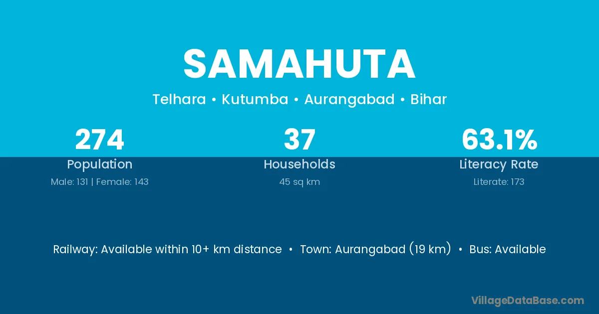
Samahuta village is located in the Kutumba Subdivision of the Aurangabad district in Bihar .

Samahuta

About Samahuta Village

Block / Subdivision → Kutumba

District → Aurangabad

State → Bihar

Samahuta village has a total population of 274 people, of which 131 are males and 143 are females.

The literacy rate of Samahuta village is 63.14%. Male literacy stands at 74.81% and female literacy at 52.45%.

There are approximately 37 households in Samahuta village.

Aurangabad (19 km) is the nearest town to Samahuta village for major economic activities and is located approximately 19 km away.

Population of Samahuta Village

The population of Samahuta village is distributed between literate and illiterate residents as follows:

Population distribution of Samahuta village by literacy and gender
Particulars Male Female Total
Literate 98 75 173
Illiterate 33 68 101
Total 131 143 274

Source: Census 2011

Nearby Villages

List of nearby villages around Samahuta village
Village District
Amba Papum Pare
Babhandih Aurangabad
Amba Aurangabad
Amba Aurangabad
Babhandih Aurangabad
Dasaunti Aurangabad
Dhanu Bigha Aurangabad
Dhuranda Aurangabad
Hardutta Aurangabad
Labhri Khurd Aurangabad
Narhar Amba Aurangabad
Neura Aurangabad
Parsawan Aurangabad
Telhara Aurangabad
Babhandih Aurangabad
Amba Banka
Amba Bhagalpur
Babhandih Gaya
Parsawan Gaya
Parsawan Gaya
Babhandih Gaya
Parsawan Gaya
Parsawan Gaya
Parsawan Gaya
Amba Jamui
Neura Kaimur
Amba Lakhisarai
Telhara Nalanda
Amba Nalanda
Amba Nawada
Neura Patna
Telhara Patna
Parsawan Rohtas
Babhandih Rohtas
Amba Amreli
Amba Dohad
Amba Panch Mahals
Amba Surat
Amba Tapi
Parsawan Chatra
Amba Deoghar
Amba Deoghar
Amba Dumka
Amba Dumka
Amba Dumka
Amba Dumka
Parsawan Garhwa
Amba Godda
Parsawan Hazaribagh
Amba Jamtara
Babhandih Latehar
Babhandih Palamu
Neura Palamu
Babhandih Palamu
Amba Palamu
Babhandih Palamu
Parsawan Palamu
Babhandih Palamu
Parsawan Palamu
Amba Alirajpur
Amba Burhanpur
Amba Dhar
Amba Harda
Amba Jhabua
Amba Khargone
Amba Khargone
Amba Mandsaur
Amba Neemuch
Amba Neemuch
Amba Raisen
Amba Rajgarh
Amba Ratlam
Amba Rewa
Amba Aurangabad
Telhara Buldana
Amba Hingoli
Amba Jalna
Amba Kolhapur
Telhara Nagpur
Neura Nabarangapur
Amba Banswara
Amba Banswara
Amba Chittaurgarh
Amba Chittaurgarh
Amba Sirohi
Amba Udaipur
Amba Udaipur
Amba Udaipur
Amba East District
Amba Allahabad
Amba Bahraich
Neura Ballia
Amba Bulandshahr
Telhara Chandauli
Parsawan Faizabad
Amba Rae Bareli
Amba Barddhaman
Amba Birbhum
Amba Paschim Medinipur

Frequently Asked Questions

Samahuta village is located in the Kutumba Subdivision of the Aurangabad district in Bihar.
The total population is 274 people.
131 males and 143 females.
The literacy rate is 63.14%.
Male literacy rate is 74.81%, and female literacy rate is 52.45%.
There are approximately 37 houses in Samahuta village.
Aurangabad (19 km) is the nearest town, located approximately 19 km away.

Reviews and Ratings

0.0 / 5 (0 reviews)

Reviews

No reviews yet. Be the first to review this village!

Samahuta Village Statistics

Population
274
Area
45 km²
Households
37
Nearest Town :
Aurangabad (19 km)

Quick Information

State / UT : Bihar
Total Area : 45 km²
Population : 274
Households : 37
Gram Panchayat : Telhara
Nearest Town : Aurangabad (19 km)

Connectivity of Samahuta

🚂 Railway Station

Available within 10+ km distance

🚌 Public Bus Service

Available within 5 - 10 km distance

🚌 Private Bus Service

Available within 5 - 10 km distance

Need Help?

Contact local tourism office for assistance